
Federal forecasters say there is a 75% chance this year's El Niño will be the strongest on record. The forecast raises flooding risk along Fanno Creek in Tigard and Durham.
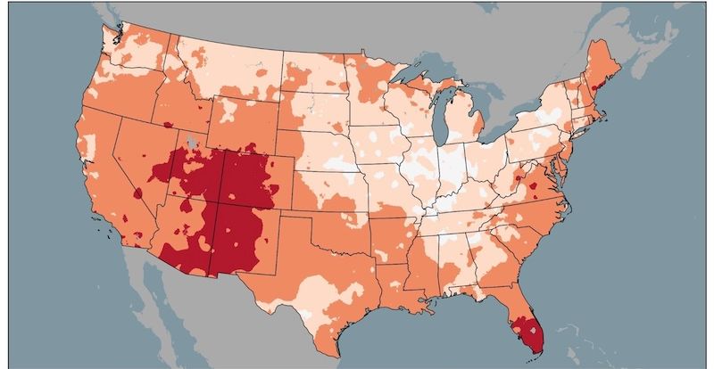
The National Weather Service's Climate Prediction Center issued its October-through-December outlook on Thursday, Sept. 17, projecting warmer-than-average temperatures across Oregon, Washington and Idaho. The center estimates a greater than 90% chance of a "very strong" El Niño during fall and winter 2026–27, Your Oregon News reported.
A very strong event means mid-Pacific surface temperatures would exceed 2.5 degrees Celsius above normal over a three-month period, according to NOAA's drought summary.
As of Sept. 10, those temperatures were already 1.8 degrees Celsius above average. The previous record was 2.4 degrees above normal, set in the winter of 1982–83.
"It could defy our expectations," Oregon State Climatologist Larry O'Neill told Your Oregon News on Sept. 18.
O'Neill said the combination of warm temperatures and above-average rain could lead to flooding. He also said ample rain could help pull Oregon out of drought. As of Sept. 10, some 91% of the state was in drought, according to the U.S. Drought Monitor.
That flooding risk hits close to home. Fanno Creek, the 15-mile Tualatin River tributary that flows through Tigard and Durham, receives about half its roughly 50 inches of annual precipitation in November, December and January. The highest flow ever recorded at the U.S. Geological Survey's Durham gauge was 1,670 cubic feet per second on Dec. 3, 2007.
During the February 1996 flood, one of the most destructive events of the 20th century in Northwest Oregon, Fanno Creek was among the first waterways monitored by USGS crews. The Tualatin River rose 5 feet above flood stage, according to the USGS Oregon Water Science Center.
The forecast is not all one direction. The Pacific Decadal Oscillation (PDO) is in a negative, or cool, phase, meaning ocean water off the West Coast is cooler than normal. During past very strong El Niños, the PDO was in a warm phase. O'Neill said the cool phase should lower temperatures along the coast and even cool Central and Eastern Oregon.
By midwinter, above-normal precipitation is expected to reach at least central Oregon and possibly farther north, The Oregonian reported. Forecasters expect El Niño to weaken during spring 2027.
O'Neill told Jefferson Public Radio on Wednesday, Sept. 16, that forecasters will have a better picture of water availability by mid-January.
Tigard residents can sign up for Everbridge emergency alerts through the city. Statewide alerts are available through OR-Alert or by texting a ZIP code to 888777.